Aerial
Photography
Melbourne.
Commercial aerial photography for projects, places and properties that need to be presented properly. Drone, helicopter and fixed-wing across Melbourne and Victoria.
Get a Quote About BrettBrett Price Photography
Melbourne’s aerial
photographer for
property, architecture
& major projects.
Brett Price works with architects, developers, marketing agencies and commercial clients who need imagery planned around how it will actually be used. Across campaigns, websites, sales material, PR, tenders and project submissions.
Read more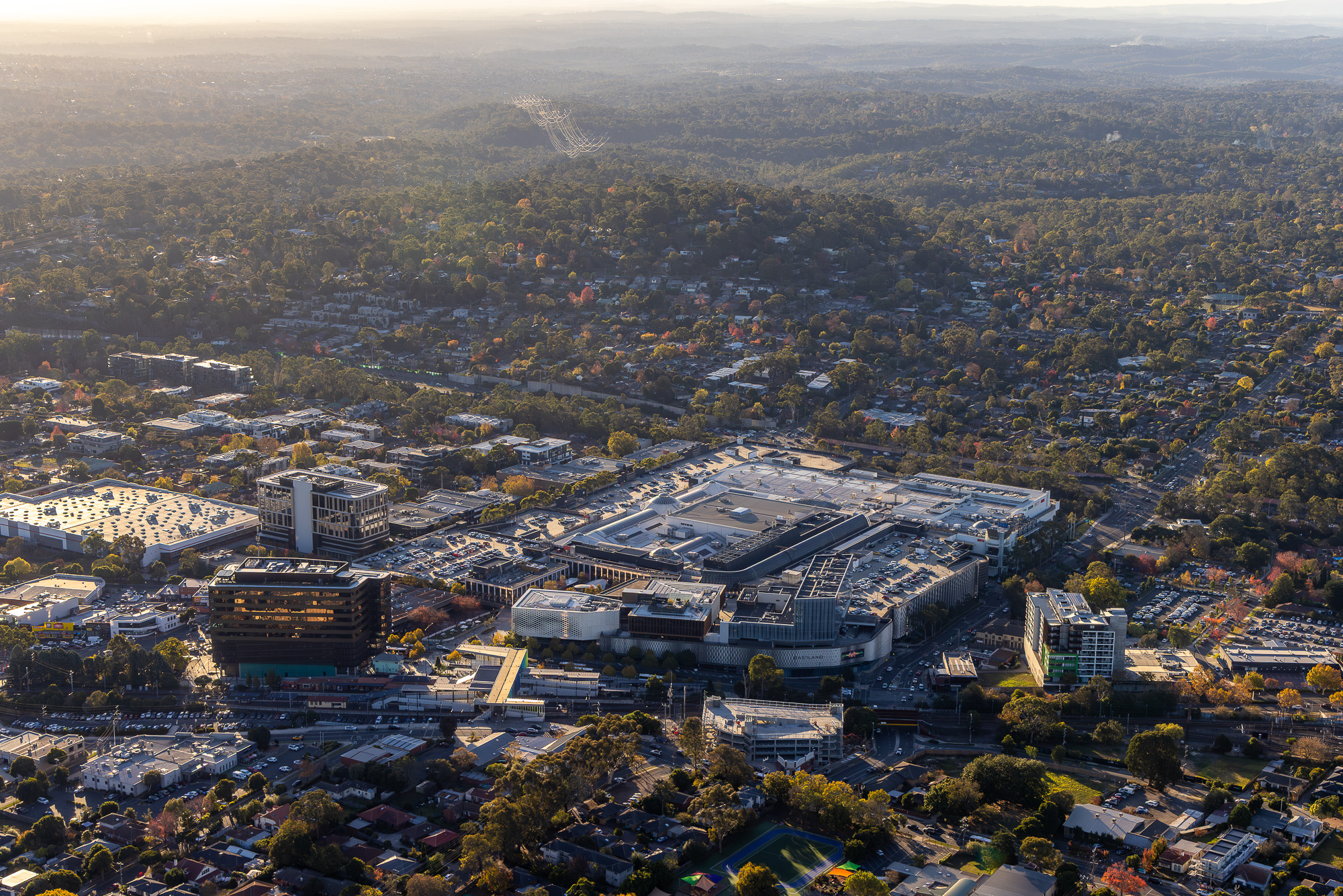

01
Drone Photography
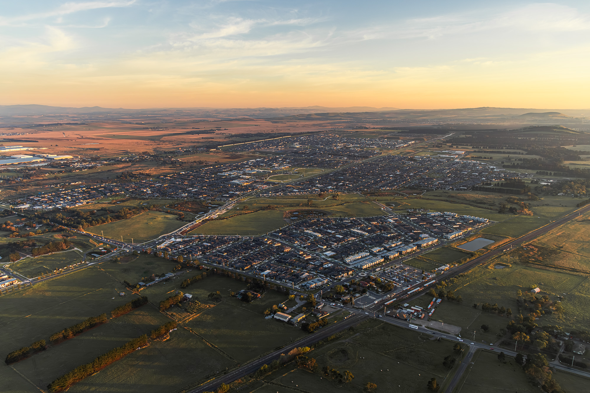
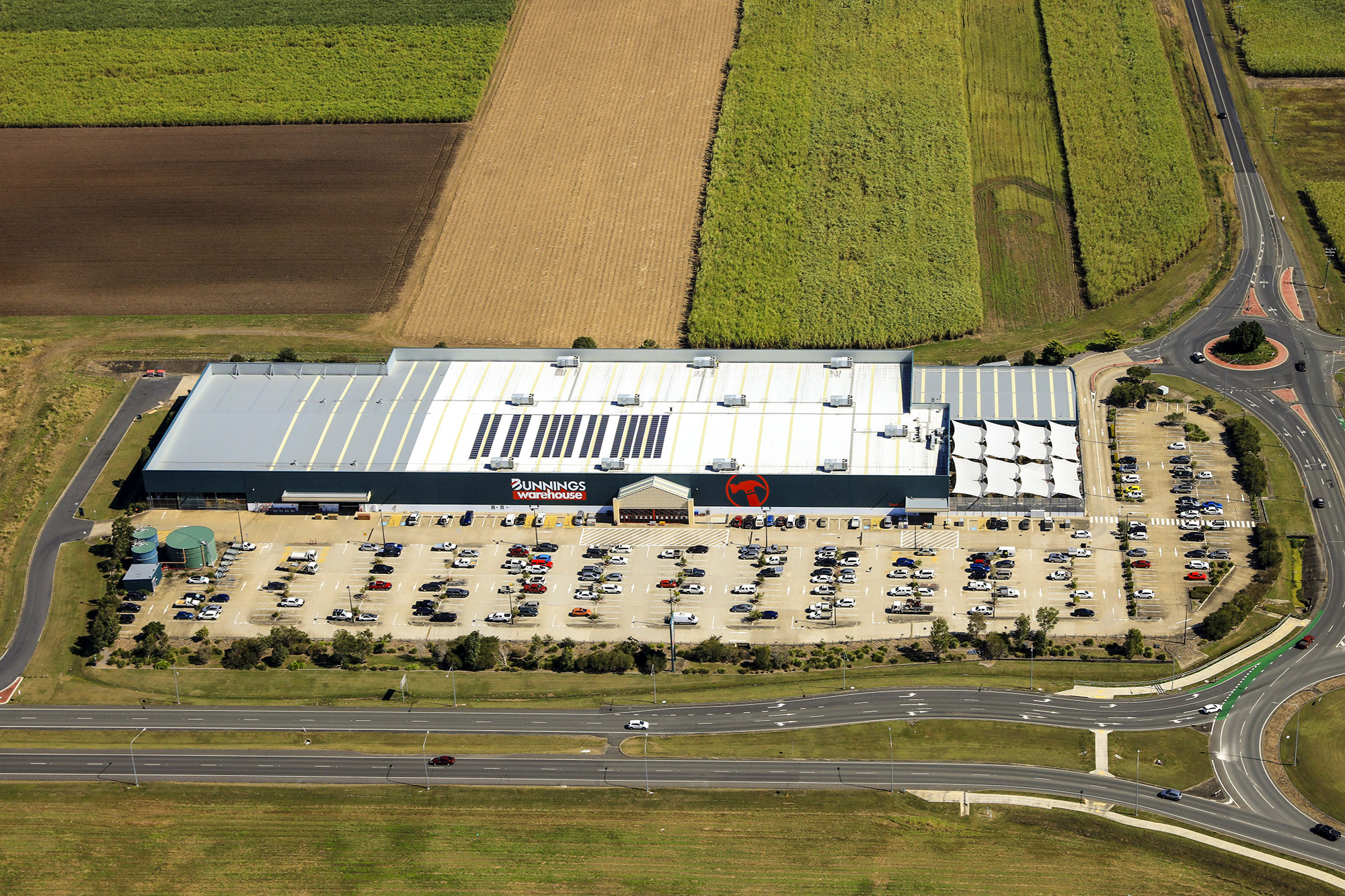
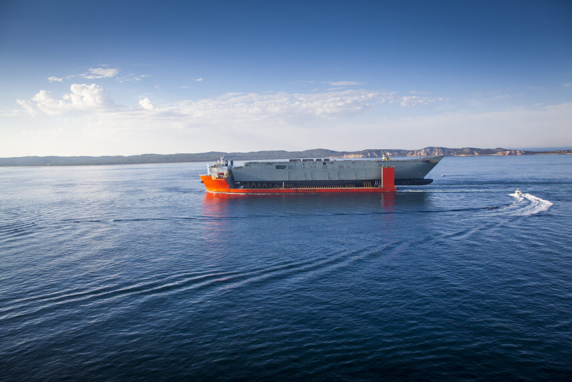
Commercial aerial photography for property development, architecture and project marketing. CASA certified, fully insured, Melbourne and regional Victoria.
View service02
Fixed-Wing Aerial
For large-scale property, major developments and regional sites. Greater altitude and broader coverage than drones, with access to controlled airspace.
View service03
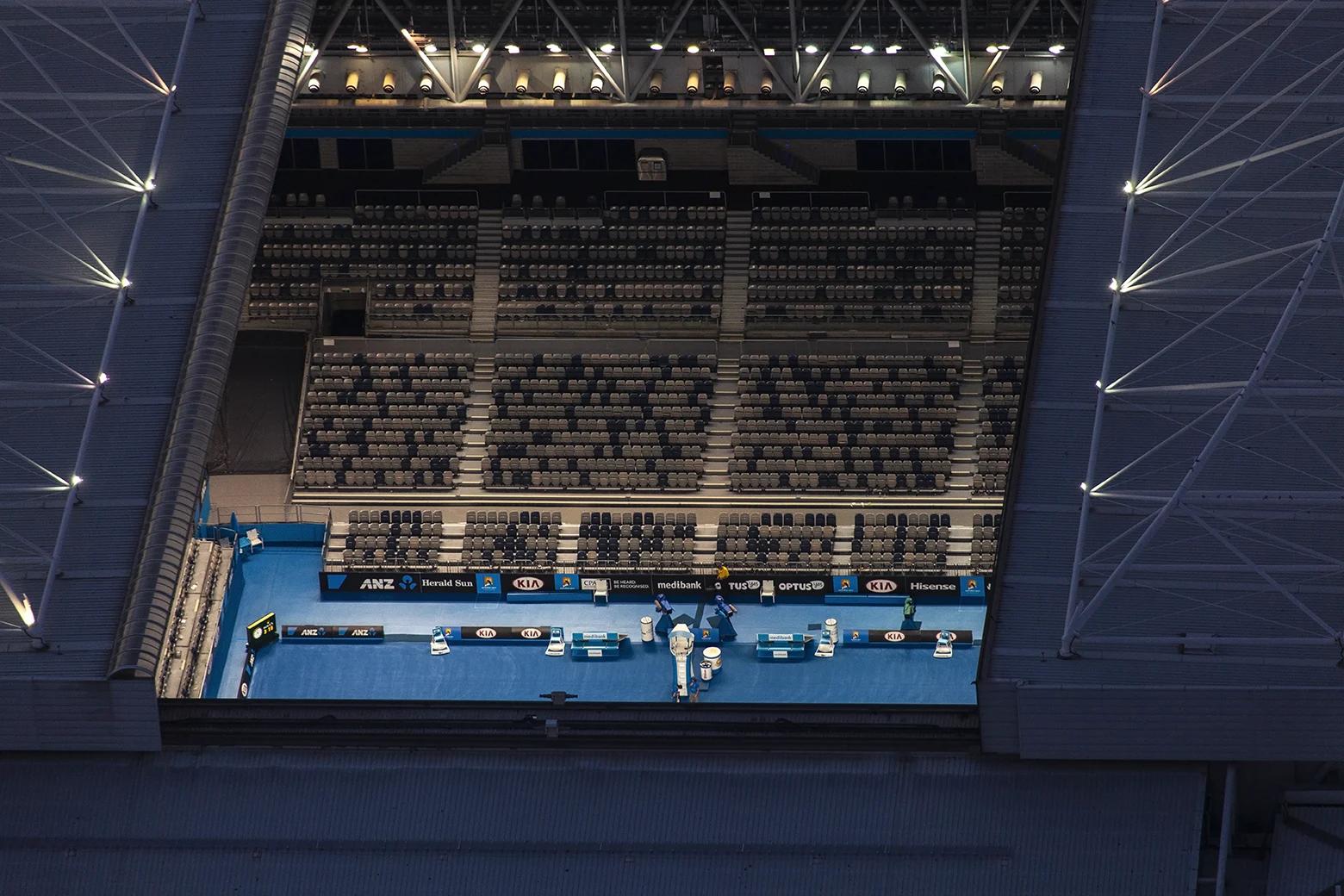
Helicopter & Aircraft
For projects in controlled airspace and CBD sites where drones cannot fly. Full airspace approvals managed as part of the job.
View serviceTalk to Brett
about your
project.
Discuss a brief, check availability or request a quote.
brett@brettprice.com.au
0403 734 402
Direct line to Brett