
Top 10 Uses Of Aerial Photography In Australia
Introduction: Aerial photography has become an invaluable tool in various industries across the globe, and Australia is no exception. With its vast landscapes, diverse ecosystems, and stunning natural beauty, Australia offers countless opportunities for capturing breathtaking aerial photographs. In this blog post, we will explore the top 10 uses of aerial photography in Australia and how it has revolutionized various sectors.
- Tourism and Travel Promotion: Aerial photography has become a powerful tool for promoting Australia’s tourism industry. Capturing stunning bird’s-eye views of famous landmarks, pristine beaches, vibrant cities, and iconic landscapes, aerial photographs entice travelers and help showcase the unique beauty of Australia’s destinations.
- Real Estate and Property Development: Aerial photography has transformed the real estate industry in Australia. Property developers and real estate agents can now provide potential buyers with a comprehensive view of properties and their surrounding areas. Aerial photographs capture the property’s location, size, and nearby amenities, giving buyers a better understanding of the property’s potential.
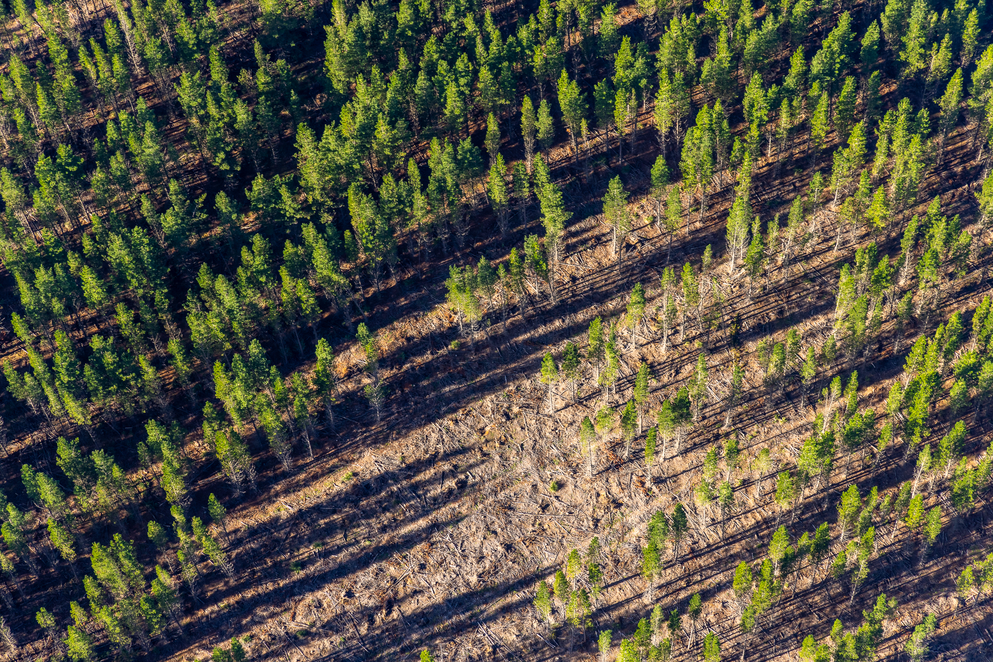
- Environmental Conservation and Research: Aerial photography plays a crucial role in environmental conservation and research efforts. By capturing high-resolution images from the sky, scientists and environmentalists can monitor changes in ecosystems, study wildlife populations, and identify areas in need of protection. It helps in assessing the impact of human activities on the environment and aids in conservation planning.
- Agriculture and Farming: Australia’s agricultural industry benefits greatly from aerial photography. Farmers can use aerial images to monitor crop health, identify irrigation needs, and detect pest infestations. Aerial photography provides a comprehensive overview of large agricultural areas, helping farmers optimize their operations and increase yields.
- Urban Planning and Development: Aerial photography is a valuable tool for urban planners and developers. By capturing detailed images of cities and urban areas, planners can assess infrastructure needs, plan transportation networks, and analyze land use patterns. These images help in making informed decisions about urban development, improving efficiency, and reducing environmental impact.
- Mining and Resource Exploration: Australia’s mining and resource industries heavily rely on aerial photography for exploration and mapping. Aerial surveys help identify potential mineral deposits, track changes in mine sites, and assess environmental impacts. This technology enables efficient resource management and ensures sustainable mining practices.
- Emergency Management and Disaster Response: Aerial photography plays a crucial role in emergency management and disaster response operations. During natural disasters such as floods, fires, or storms, aerial images help emergency teams assess the extent of damage, identify evacuation routes, and plan relief efforts. It aids in coordinating resources effectively and expediting recovery operations.
- Infrastructure Inspections: Inspecting infrastructure, such as bridges, dams, and power lines, can be challenging from the ground. Aerial photography allows engineers and inspectors to capture detailed images of these structures from various angles. This visual data helps detect potential issues, plan maintenance or repairs, and ensure the safety and longevity of critical infrastructure.
- Film and Television Production: Australia’s stunning landscapes have made it a popular destination for film and television production. Aerial photography provides filmmakers with breathtaking shots that capture the essence of Australia’s natural beauty. Whether it’s capturing sweeping landscapes, epic chase scenes, or iconic landmarks, aerial footage adds a unique visual dimension to productions.
- Surveying and Mapping: Aerial photography has revolutionized surveying and mapping processes. By using aerial imagery, surveyors can create accurate topographic maps, measure distances, and analyze terrain features. This technology allows for faster and more efficient data collection, benefiting industries such as engineering, construction, and land management.
Conclusion: Aerial photography has transformed various industries in Australia, offering a new perspective and invaluable insights. From promoting tourism and real estate to supporting environmental conservation and emergency response, aerial photography continues to revolutionize the way we see and interact with our surroundings. With advancements in technology and the growing demand for visual storytelling, we can expect aerial photography to play an even more significant role in Australia’s future.